
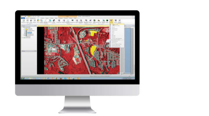



Octave Imagine (ex-ERDAS IMAGINE)
Remote sensing raster data processing: satellite and aerial imagery, LiDAR, radar — orthorectification, classification, change detection, spatial modeling.
Octave Imagine (ex-ERDAS IMAGINE) is software for extracting information from raster imagery: satellite images, aerial photography, LiDAR and radar data. One product combines remote sensing, photogrammetry, LiDAR analysis, basic vector analysis, change detection and radar processing.
In 2026, ERDAS IMAGINE was renamed Octave Imagine as part of the Hexagon → Octave rebrand; functionality, versions and contracts remain unchanged.
Imagine is used for land cover mapping, terrain classification, monitoring changes in territory, and producing orthophotos and terrain models — in urban planning, agriculture and forestry, geology and defense projects.
For storing and distributing processed imagery, Imagine works together with Octave Alto Data Management (ex-ERDAS APOLLO); for GIS analysis, with Octave GeoMedia.
Softprom is an Octave partner: we help select the right Imagine configuration for the task and arrange a demonstration and a pilot project.
Features
Image Processing
- Data conversion, orthorectification, color correction, mosaics and compression.
- Land cover mapping and terrain classification.
- LiDAR data processing and classification.
- Radar processing.
Analysis and Modeling
- Spatial modeling and analysis.
- Terrain creation, editing and analysis.
- Change detection between images from different dates.
- Creating and updating vector data.
Output and Reporting
- Map and report production, a map composer with output to PowerPoint and Word.
Typical Use Cases
- Monitoring territory changes. Comparing imagery from different dates, detecting new construction or deforestation.
- Orthophotos and terrain models. For planning, design and digital twins.
- Land classification. Land cover, land use, agriculture and forestry.
- LiDAR and radar data processing. Point clouds, surface models, SAR interferometry.